Get involved with your watershed. Check out our M.A.R.S. program for chance to help!
Watershed Guardians PO Box 634 Pocatello, ID 83204US
Get involved with your watershed. Check out our M.A.R.S. program for chance to help!


Active pond showing clean, clear water cascading over an active beaver pond

One of my favorite trips to this creek was 6 years ago when I went on a fishing trip with my good friend, Scott Worth. There were multiple beaver ponds and we each had our own technique for approaching the wily cutthroats. His was to drop a dry fly from the upper end of the pond and let it slowly drift down , stripping out line as you go, keeping the line somewhat taught, but not causing a drag riffle. One can easily see th fish strike the fly.
Mine was to sneak in the stream channel just below the pond so that my eye-level was the same as the top of the pond and cast upstream and drag the the fly back at the same , slow speed as the pond current. If you are quick, you can see the fish hit. We both used the Adams special fly.
This stream is one of only a handful of streams that are protected through a controlled trapping permit. However, based on our previous data, it is apparent that the 5 beaver per year take is too much, or there is simply no enforcement on trapping regulations. The data that you collect will help us (continue) to make the case that this area should be closed to trapping.
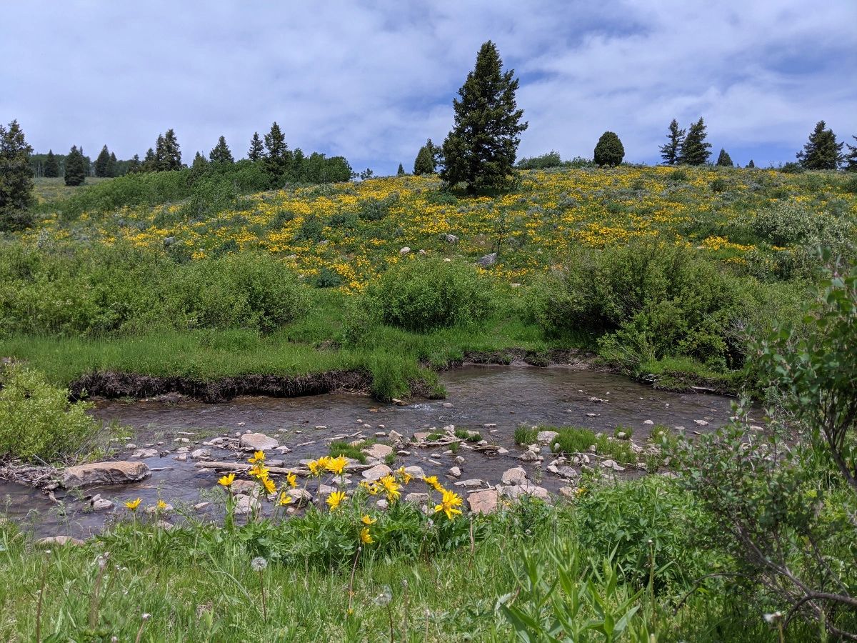
Toponce basin is a beautiful spot in Caribou County along the Portneuf basin and it is well worth exploring. Why not Count beaver activity while you're there!
Location: South Fork Toponce Creek Caribou County, Idaho.
Specific Name: South Fork, Toponce Creek
Stream length: 8.2 miles
8.3 miles
Total length: 13.2 miles Includes South Fork Toponce up to fence.
Management: USFS Westside Ranger District, Caribou-Targhee National Forest.
Idaho Fish and Game, Region V, Dan Garren Regional Supervisor
Beaver Trapping: Currently restricted to 5 animals per year
Miles censused: 13.2
We have seen increased pressure in this area due to both regulated and un-regulated uses. Competing uses include grazing, irrigation and target shooting. We have petitioned the Idaho Fish and Game to close this area to trapping for the past two (four years) comment periods.

Collin checking out the basin from a cliff. Great vantage point!

Fresh cuts on willows from 2019 Count.

This image shows how beaver will re-use old branches from a decayed dam to produce another, new dam. Refurbished!

You'll need a good pair of shoes participate in BeaverCount. Kitti and Richard can tell you!

Moose and beaver go together like peanut butter and chocolate! (Joan Bernt)